
Project Stratus
| Sponsors |
 Principal funding is provided by NOAA Climate Program Office.
(CPO). Principal funding is provided by NOAA Climate Program Office.
(CPO). |
Research
The Eastern Tropical Pacific is characterized by anomalous sea surface temperatures which perturb the atmosphere and alter weather and climate in remote locations, including North and South America. It is believed that the remarkably persistent stratus decks to the west of Peru and Chile exert a strong cooling influence on the local and global heat balance and, further, that they play a role in maintaining the equatorial asymmetry of sea surface temperatures and winds in the eastern Pacific. However, our understanding of the processes that control ocean sea surface temperature in this region is hampered by the lack of complete observations there.
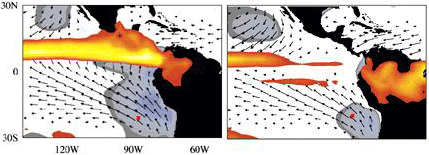
The figure above shows surface winds in the Eastern Tropical Pacific, for March-April (left) and September-October (right). Climatological stratus clouds are shown in gray, rain in orange, and the position of the buoy is marked by a red square.
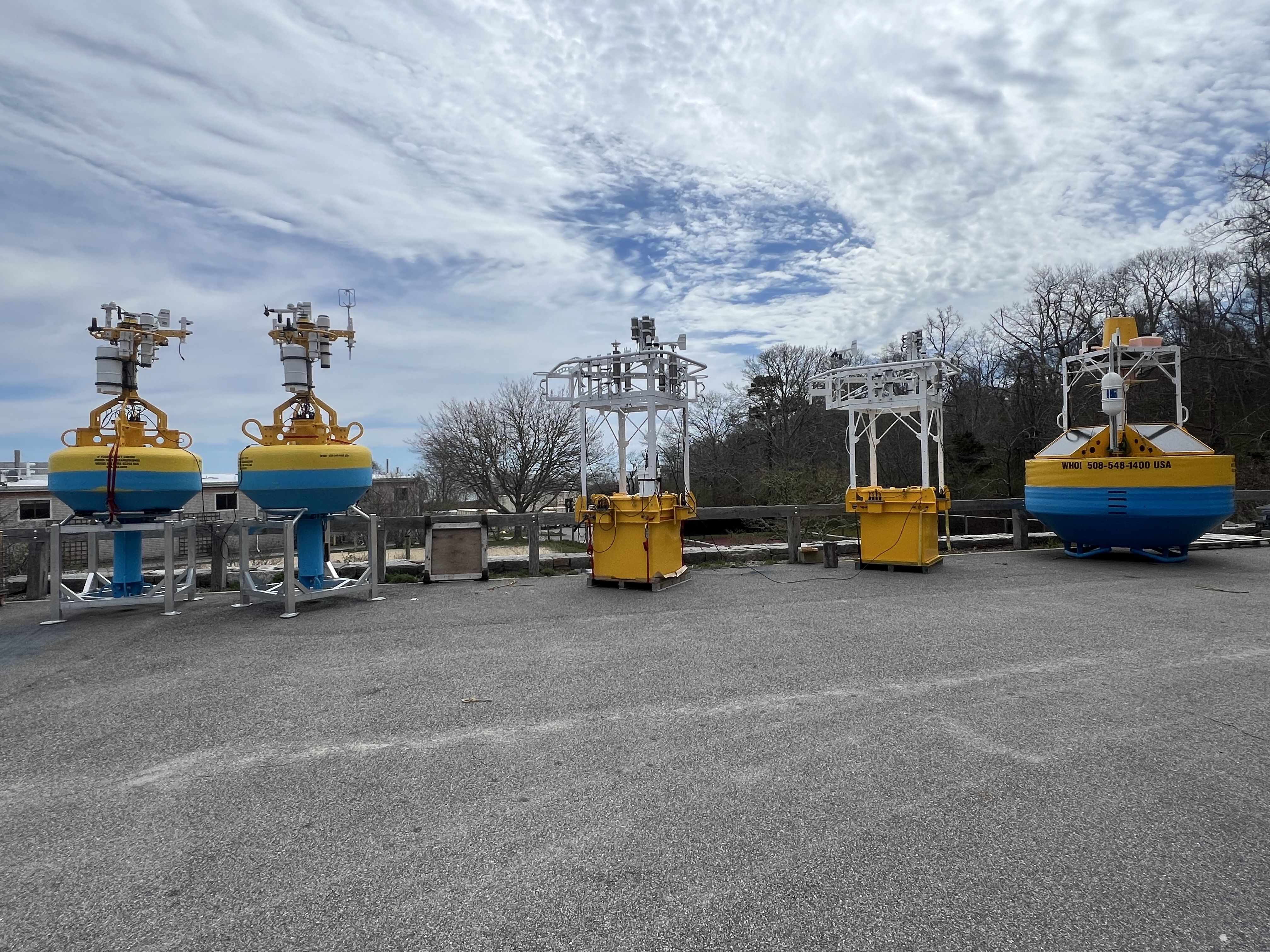
Moorings
The surface mooring will be maintained for several years to obtain and examine in-situ records of surface meteorology, air-sea fluxes, and upper ocean variability.
The three meter modular foam buoy is equipped with meteorological instrumentation including two complete sets of Air-Sea Interaction Meteorological (ASIMET) systems, measuring air and sea surface temperatures, relative humidity, barometric pressure, wind speed and direction, incoming shortwave and longwave radiation, and precipitation.
Complete surface meteorological time series is recorded every minute, as necessary to compute air-sea fluxes of heat, freshwater and momentum. Each ASIMET system also transmits hourly averages of the surface meteorological variables via the Argos satellite system.
The mooring also carries vector measuring current meters, and conductivity, salinity and temperature recorders located in the upper 450 meters of water, as well as an Acoustic Doppler current profiler (ADCP) and an acoustic rain gauge. The mooring line is instrumented in order to collect accurate time series of surface forcing and upper ocean temperatures, velocities, and salinities.
Last updated: 2026/05/28