
| Sponsor |
|
|
Upper Ocean Mooring Data Repository - SESMOOR: Severe Environment Surface Mooring
Overview:
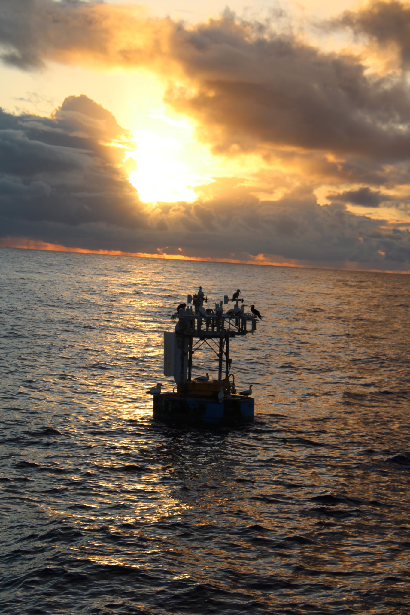
The Severe Environment Surface Mooring (SESMOOR), funded by the Office Of Naval Research, was deployed in the winter of 1988-1989 for the Experiment on Rapidly-Intensifying Cyclones over the Atlantic (ERICA) at a position about 300 km southeast of Halifax, Nova Scotia, in 2984m of water.
Location:
In the western North Atlantic, at 42° 33´N, 61° 14´W.
Duration:
4.5 months, from mid-October, 1988 to early March, 1989.
Mooring Specifications:
A discus buoy with meteorological and oceanographic instrumentation as well as instrument cages deployed as engineeering tests.
Mooring details are presented in a table.
Instrumentation:
The discus buoy was outfitted with two independent meteorological systems, each containing sensors sufficient for estimating the bulk fluxes of momentum and heat. The details are listed in the table of meteorological instrumentation.
Two Vector-Measuring Current Meters (VMCMs) were deployed, at 20m and 50m depth. Current meter details are presented in a table.
Data:
More detailed information and access to data files is organized by data type:Meteorology Data
Water Velocity Data
Temperature Data
References:
- Crescenti, G.H., Tarbell, S.A., and Weller, R.A.,1991: A Compilation of Moored Current Meter Data and Wind Recorder Data from the Severe Environment Surface Mooring (SESMOOR), Woods Hole Oceanographic Inst. Tech. Rep. WHOI-91-18, Woods Hole, MA, 59 pp. abstract pdf
- Kerry, S.M., 1989: Severe Environmental Surface Mooring (SESMOOR). Oceans '89, IEEE, Seattle, Washington, pp. 1398-1405.
Last updated: May 18, 2008