
| Sponsor |
|
|
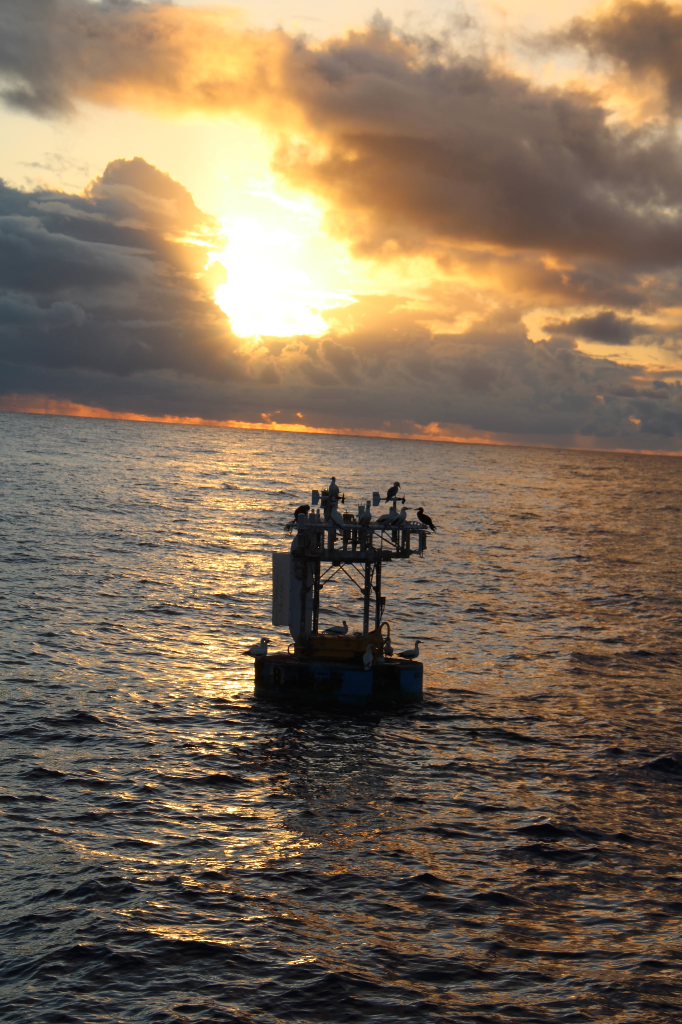
| TOGA COARE Buoy |
 |
| TOGA COARE surface buoy |
| Related Links |
| TOGA-COARE site at FSU |
Upper Ocean Mooring Data Repository - TOGA COARE: Tropical Ocean Global Atmosphere Coupled Ocean Atmosphere Response Experiment
Overview:
The Tropical Ocean - Global Atmosphere Coupled Ocean - Atmosphere Response Experiment (TOGA COARE) was conceived in order to improve understanding of the principal processes responsible for coupling of the ocean and atmosphere in the western tropical Pacific warm pool region. The COARE field program included a wide variety of platforms and sensors. The Upper Ocean Processes Group, with funding from the National Science Foundation, deployed a surface mooring during the COARE intensive observation period for the determination of surface fluxes and upper ocean structure near the center of the warm pool. The water depth was approximatley 1740 m.
Location:
At approximatley 1° 45´S, 156°E, in the western tropical Pacific warm pool.
Duration:
4.5 months, from October 21, 1992 to March 4, 1993.
Mooring Specifications:
The UOP surface mooring was deployed at the center of six mooring array. Four subsurface moorings, deployed by the University of Washington, formed a "diamond" surrounding the UOP mooring at distances of about 55 km. An acoustics mooring, deployed by the Institute of Ocean Sciences, was about 50 km to the northwest. Only results from the UOP surface mooring are presented here. Mooring details are presented in a table.
Instrumentation:
The 3-meter discus buoy at the central site was outfitted with two complete sets of meteorological sensor systems. Each system contained sensors sufficient for estimating the bulk fluxes of momentum, heat and moisture. Aspirated air temperature and humidity sensors, and a rain temperature sensor were also deployed. The variables observed are listed in the table of meteorological instrumentation (template only).
Temperature, conductivity, and velocity sensors were deployed on the surface mooring. The measurements spanned the upper 260 m of the water column. Temperature was measured from 0.4 m to 260 m depth with vertical resolution that varied from less than 0.5 m (in the upper 2 m) to 16 m (between 132 and 260 m depth). Velocity was measured from 5 m to 340 m depth with vertical resolution between 4 and 16 m. Salinity was measured from 2 to 108 m with resolution between 4 and 8 m. The variables observed are listed in the table of oceanographic instrumentation. (template only)
Data:
More detailed information and access to data files is organized by data type:Meteorology
Water Velocity
Temperature
Salinity
References:
- Plueddemann, A.J., R.P. Trask W.M. Ostrom, R.A. Weller, B.S. Way, S.P. Anderson, N. Bogue, J. Shillingford, and S. Hill, 1993. TOGA COARE mooring deployment, mooring check-out, and mooring recovery cruises, Woods Hole Oceanog. Inst. Tech. Rep., WHOI-93-30, 54 pp. abstract pdf
- Weller, R.A. and S.P. Anderson, 1996. Surface meteorology and air-sea fluxes in the western tropical Pacific warm pool during the TOGA Coupled Ocean-Atmosphere Response Experiment, J. Climate, 9(12), 1959-1990.
- Anderson, S.P., R.A. Weller and R. Lukas, 1996. Surface buoyancy forcing and the mixed layer of the western Pacific warm pool: Observations and 1-D model results, J. Climate, 9, 3056-3085.
- Anderson, S.P., A. Hinton and R.A. Weller, 1998. Moored observations of precipitation temperature, J. Atmos. Ocean. Technol., 15(4), 979-986.
- Anderson, S.P. and M. Baumgartner, 1998. Radiative heating errors in naturally ventilated air temperature measurements made from buoys, J. Atmos. Ocean. Technol., 15(1), 157-173.
Last updated: May 17, 2008