
| Sponsor |
|
|
Upper Ocean Mooring Data Repository - FASINEX: Frontal Air-Sea Interaction Experiment
Overview:
The Frontal Air-Sea Interaction Experiment (FASINEX) took place in the subtropical convergence zone of the North Atlantic, about 1000 km east of the Florida coast. The location was chosen because of the well-defined and relatively long-lived sea surface temperature fronts in the region.
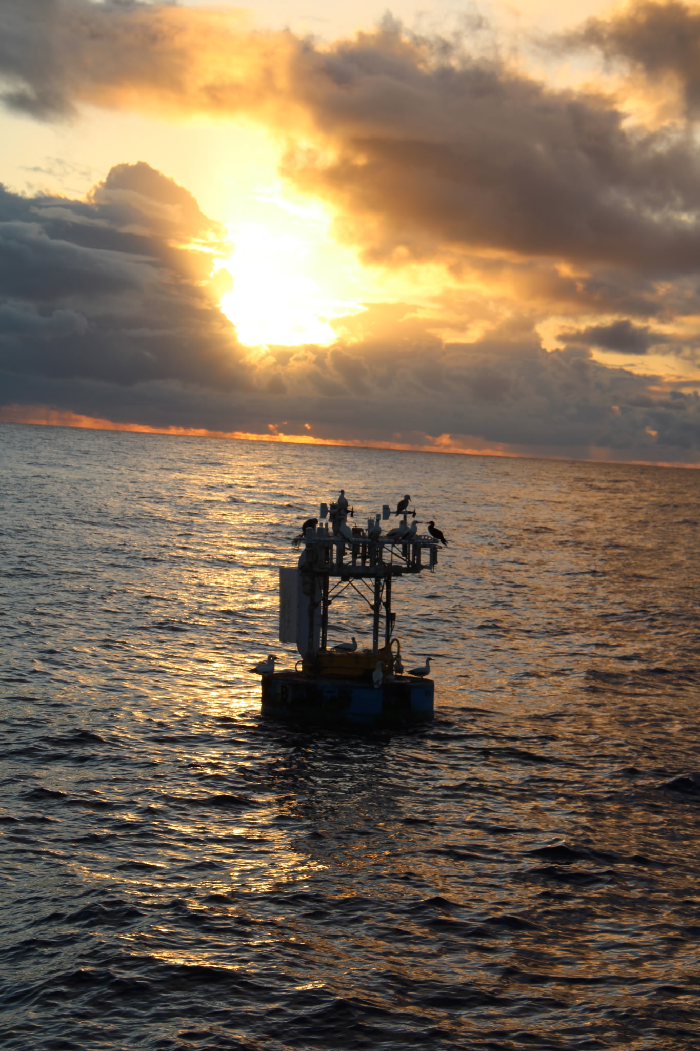
The Upper Ocean Processes Group deployed five surface moorings with the objective of investigating air-sea interaction in a region characterized by strong horizontal gradients in upper ocean properties. The five sites, all in about 5480m of water, were separated by tens of kilometers (minimum 17 km, maximum 39 km, shown on a schematic). The moored array component, funded by the Office Of Naval Research, served as the focal point of a multi-investigator intensive observational period in February and March of 1986.
Location:
The array was deployed southwest of Bermuda, at approximately 27 N, 70 W.
A map is available.
Duration:
5 months, from mid January, 1986, to mid June, 1986.
Mooring Specifications:
The complete set of FASINEX moorings included an eight-element central array and two long-term sites. Only the five surface mooring sites within the central array, designated F2, F4, F6, F8 and F10, are documented here. Surface meteorology and upper ocean properties were measured at each of these sites.
Mooring details are available in a table and a schematic drawing
Instrumentation:
Each surface mooring was outfitted with two independent meteorological sensor systems. Each system included sensors sufficient for estimating the bulk fluxes of momentum and heat. A single meteorological record was created for each site using the primary system and, when necessary, data from the secondary system. The variables observed are listed in the of table meteorological instrumentation.
Ocean temperature and velocity between 10 m and 4000 m depth were measured with sensors attached to the mooring lines. All sites had sensors at 10-40 m with 10 m resolution, at 80-120 m with 40 m resolution and at 700 m. Two sites had additional sensors at 1000 and 4000 m. The variables observed are listed in the table of oceanographic instrumentation.
Data:
More detailed information and access to data files is organized by data type:Meteorology
Water Velocity
Temperature
References:
- Pennington N., Weller R., Brink K., FASINEX Moored Current Meter Array Data Report, WHOI Technical Report 88-63, Woods Hole, MA, December 1988, 273 pp. (abstract) available at the DOD technical information web site.
- Weller, R.A., 1991. Overview of the Frontal Air-Sea Interaction Experiment (FASINEX): A study of air-sea interaction in a region of strong oceanic gradients, J. Geophys. Res., 96(C5), 8501-8516.
Last updated: May 18, 2008