
| Sponsor |
|
|
Upper Ocean Mooring Data Repository - The Subduction Experiment
Overview:
The Subduction experiment, funded by the Office Of Naval Research, took place in the subtropical North Atlantic near the eastern flank of the Bermuda/Azores atmospheric high pressure system. This is a preferred region for convergence of the wind-driven (Ekman) circulation which leads to subduction, a process by which mixed layer water is injected into the main thermocline. Working jointly with R. Davis of the Scripps Institution of Oceanography (SIO), the Upper Ocean Processes Group maintained an array five surface moorings in the region during a two year period.
The moorings were referred to by their relative positions: northwest (NW), northeast (NE), southwest (SW), southeast (SE) and central (C). The four corners formed a rectangle of about 1200 km (east-west) by 1700 km (north-south), and the corners were about 1000 km from the central site. The water depth varied from 3297 m at the southeast site to 5670 m at the central site.
Location:
The five-mooring array was centered at 25.5 N, 29 W in the eastern subtropical North Atlantic. The nominal location of each mooring is listed below. A map is available.
site NW NE C SW SE latitude 33N 33N 25.5N 18N 18N longitude 34W 22W 29W 34W 22W
Duration:
2 years, from June 1991 to June 1993.
Mooring Specifications:
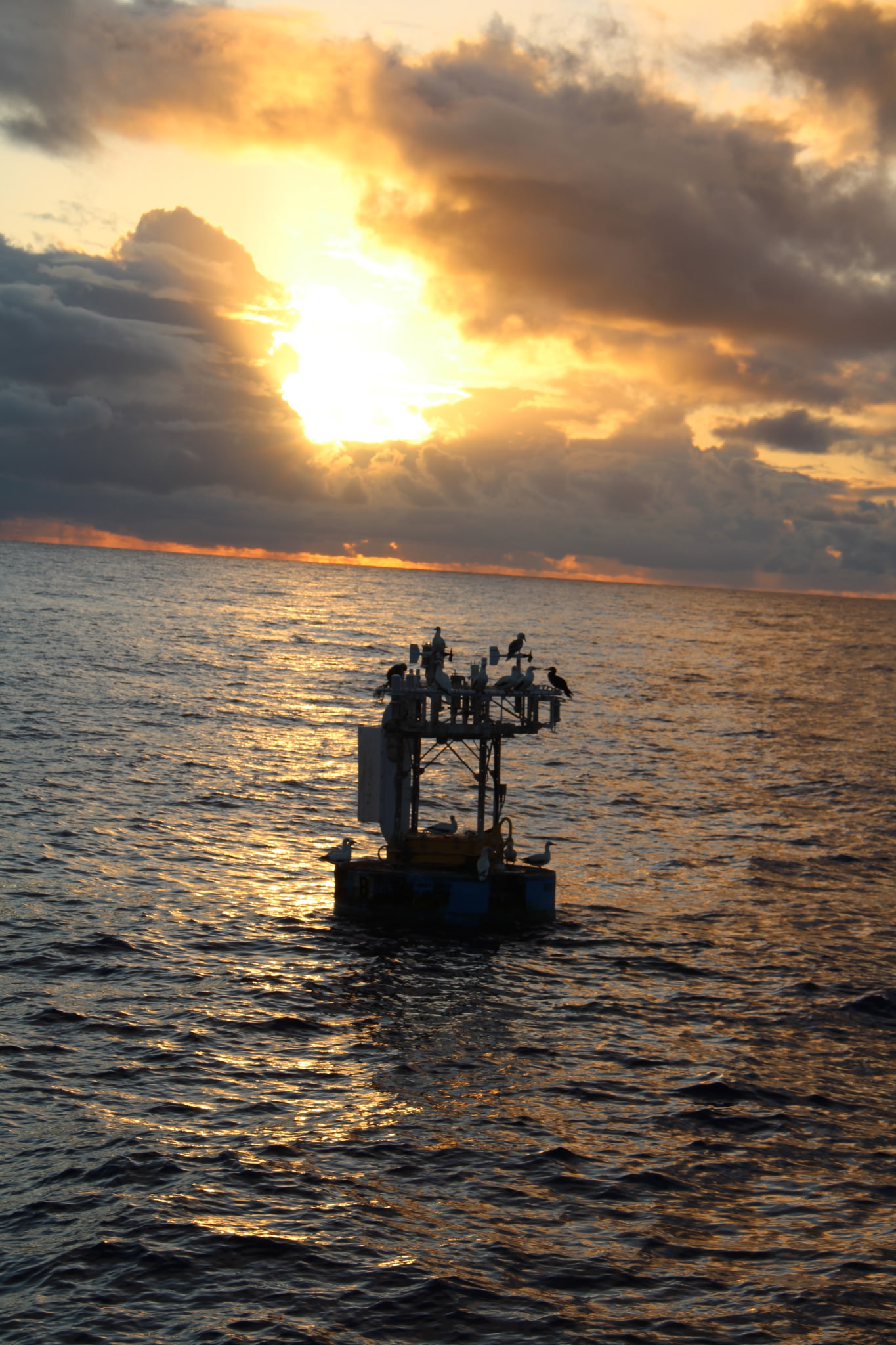
Two different types of surface moorings were used, 3 m diameter discus buoys and 2.3 m diameter toroid buoys. Surface meteorology and upper ocean properties were measured at each of the five sites. The two year experiment was made up of three eight-month mooring deployments. Although the overall data return was very good, several moorings failed mechanically during the course of the experiment.
Times when moorings were off station are described in the processing notes and shown schematically in the table of data sources. Mooring details are available in a set of tables and a schematic drawing.
Instrumentation:
Most surface moorings were outfitted with two independent meteorological sensor systems. Each system contained sensors sufficient for estimating the bulk fluxes of momentum and heat. One of the systems included direct measurements of precipitation. A single meteorological record was created for each site using the primary system and, when necessary, data from the secondary system or from numerical weather forecast products (see the table of data sources). The variables observed are listed in the table of meteorological instrumentation.
Ocean temperature and velocity were measured from 10 m to 1500 m depth with sensors attached to the mooring lines. The highest vertical resolution was between 10 and 150 m where instruments were at either 10 or 20 m increments. Below this there were sensors at 200, 300, 400, 580, 750, and 1500 m on each mooring. The central site also had sensors at 3500 m. Details of sensor locations are given in the table of oceanographic instrumentation.
Data:
We regret to report that the subsurface data from the Subduction Experiment is currently off-line. We hope to have it restored soon.
- More detailed information and access to data files is organized by
data type:
Meteorology
Water Velocity
Temperature
This document is /archives/subduction/subduction.html.
Please acknowledge R. A. Weller (WHOI) and R. E. Davis (SIO) if you
use the the data presented here in any publication.
References:
- Trask, R. P., and N. J. Brink, 1993a: Cruise Report R/V Oceanus, Subduction 1 Mooring Deployment Cruise. Woods Hole Oceanographic Institution Tech. Rep. WHOI-93-12, 77 pp. abstract pdf
- Trask, R. P., N. J. Brink, L. Regier, and N. McPhee, 1993b: Cruise Report R/V Oceanus, Subduction 2 Mooring Deployment and Recovery Cruise. Woods Hole Oceanographic Institution Tech. Rep. WHOI-93-13, 102 pp. abstract pdf
- Trask, R. P., W. Jenkins, J. Sherman, N. McPhee, W. Ostrom, and R. Payne, 1993c: Cruise Report RRS Charles Darwin, Subduction 3 Mooring Deployment and Recovery Cruise. Woods Hole Oceanographic Institution Tech. Rep. WHOI-93-18, 98 pp. abstract pdf
- Trask, R. P., N. Galbraith, P. Robbins, W. Ostrom, L. Regier, G. Pezzoli, and N. McPhee, 1993d: Cruise Report R/V Knorr, Subduction 3 Mooring Recovery Cruise. Woods Hole Oceanographic Institution Tech. Rep. WHOI-93-54, 79 pp. abstract pdf
- Brink, N. J., K. A. Moyer, R. P. Trask, and R. A. Weller, 1995: The Subduction Experiment: Mooring Field Program and Data Summary. Woods Hole Oceanographic Institution. WHOI-95-08, 113 pp. abstract pdf
- Moyer, K.A. and R.A. Weller, 1997: Observations of surface forcing from the Subduction Experiment: A comparison with global model products and climatological datasets, J. Climate, 10, 2725-2742.
Last updated: May 19, 2008