
SPURS: Salinity Processes in the Upper Ocean Regional Study
| Sponsor |
|
|
| Principal funding is provided by the NASA Physical Oceanography Program. |
| SPURS-I Details |
|
Mooring log Mooring diagram location and track EN533 Recovery Cruise Report |
| SPURS-II Details |
|
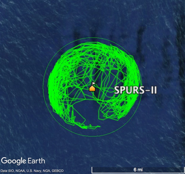
Mooring log Mooring Diagram Buoy location and track details Deployment Cruise Report Deployment Cruise Blog |
| Related Links |
| SPURS at JPL |
As part of the SPURS (Salinity Processes in the Upper Ocean Regional Study) project, WHOI's Upper Ocean Processes Group deployed two surface moorings.
SPURS I Surface Mooring Details
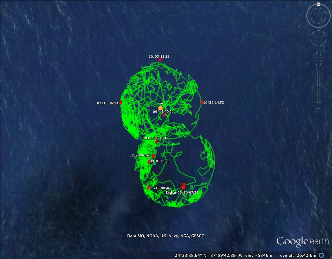
Set: September 14, 2012, 20:00 UTC, R.V. Knorr, cruise KN-209-01
Moved: March 25, 2013
Recovered: September 30, 2013 08:40 UTC, R.V. Endeavor, cruise EN-533
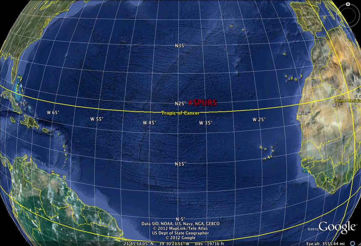
Initial anchor position: 24° 34.867´N, 38°W
Moved to: 24° 31.867´N, 37°N, 59.277´W
Water depth: 5355 meters
The surface mooring was deployed in the salinity maximum region of the subtropical North Atlantic. It was moved when work was being done to instruments onboard, on March 25, 2013. The initial anchor position, above, was calculated with an acoustic anchor survey; the second position is based on GPS data from the buoy platform. The deployment duration was 380 days.
A plot of the GPS positions of the buoy shows the change in position (jpg or KML).
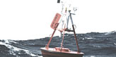
The buoy was equipped with two identical ASIMet systems and about 60 ocean sensors. Instrumentation details are provided in the mooring log.
SPURS II Surface Mooring Details
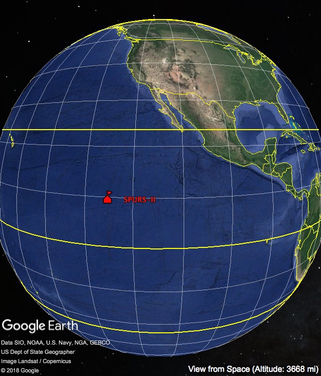
Set: August 24, 2016, 00:01 UTC, R.V. Revelle, cruise RR1610
Recovered: November 7, 2017 13:50 UTC, R.V. Revelle, cruise RR1718
Anchor position: 10° 3.0481´N 125° 1.939´W
Water depth: 4769 meters
The surface mooring was deployed in the Pacific in the intertropical convergence zone,
and recorded data for 440 days.
The buoy was equipped with two identical ASIMet systems, a WAMDAS wave package, and
about 60 ocean sensors, as detailed in the mooring
log.