
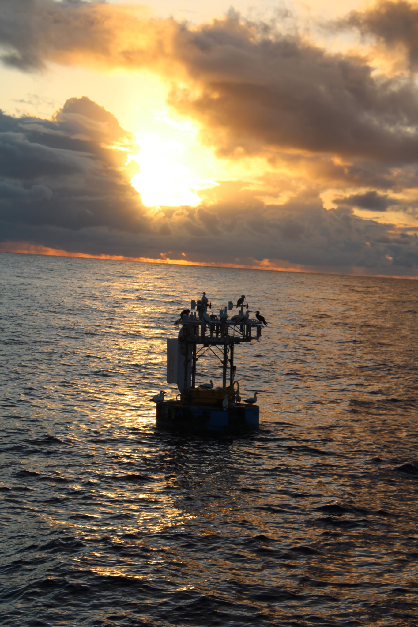
Project NTAS - Northwest Tropical Atlantic Station for air-sea flux measurement
| Sponsors | ||
| ||

| Related Information |
| See details page for mooring logs, mooring diagrams, and cruise reports |
| See real-time data page for later deployments |
Archived Data
Notes
As data becomes available it is added to this secton of the NTAS site; it may
still be subject to updates, however. Please note the version date as well
as the citation for any data you download.
A full description of the OceanSITES NetCDF specification used for UOP datasets
is available on the OceanSITES web site.
Metadata, including variable's "standard names" are taken from the
Climate and Forecast NetCDF
specification.
Real time data and provisional, partially processed subsurface temperature and salinity
data is available on the Real Time Data page.
Notes on Meteorological Data
Meteorological data contained on this site is collected by ASIMet loggers. More detailed information about this instrument package is available at /UOPinstruments/UOPinstruments.html.The ASIMET meteorological sensors on the buoy provided a record of:
- Wind velocity
- Relative Humidity
- Air and Sea surface Temperatures
- Incoming Shortwave Radiation
- Incoming Longwave Radiation
- Barometric Pressure
- Precipitation
Notes on Subsurface Temperature and Salinity Data
Delayed-mode subsurface temperature and salinity data from NTAS 7 - 14 were processed in cooperation with D. Vandemark and M. Emond (U. New Hampshire, School of Marine Science and Ocean Engineering). Key processing steps included timing checks, comparison with data from adjacent depths, assessment during periods of overlap between successive deployments, and comparison with independent data sources (e.g. Argo floats). Data files are separated by measurement type and sample interval.
Download Data
NTAS data is also available in NetCDF format at OceanSITES and NCEI.
All data presented here should be considered provisional, as further adjustments to the data may be needed. Please note the version date as well as the citation for any data you download.
Acknowledgement
When using the data, please acknowledge the source: "Data from the NTAS Ocean Reference Station were made available by the Upper Ocean Processes Group of the Woods Hole Oceanographic Institution. These data were collected with support from the National Oceanic and Atmospheric Administration (NOAA) Global Ocean Monitoring and Observing (GOMO) Program through the Cooperative Institute for the North Atlantic Region (CINAR) under Cooperative Agreement NA14OAR4320158. NOAA CPO FundRef number (100007298)."
NTAS-I
Dates: March 30, 2001 - March 6, 2002
| Type | NetCDF | Metadata | Text file |
| Met | OS_NTAS_2001_D_M.nc | OS_NTAS_2001_D_M.cdl | OS_NTAS_2001_D_M.asc.gz |
| Vel | OS_NTAS_2001_D_surfV.nc | OS_NTAS_2001_D_surfV.cdl | OS_NTAS_2001_D_surfV.asc.gz |
| DeepTS |
NTAS-II
Dates: March 04, 2002- February 16, 2003
| Type | NetCDF | Metadata | Text file |
| Met | OS_NTAS_2002_D_M.nc | OS_NTAS_2002_D_M.cdl | OS_NTAS_2002_D_M.asc.gz |
| SurfVel | OS_NTAS_2002_D_surfV.nc | OS_NTAS_2002_D_surfV.cdl | OS_NTAS_2002_D_surfV.asc.gz |
NTAS-III
Dates: Feb 15, 2003 - Feb 19, 2004
| Type | NetCDF | Metadata | Text file |
| Met | OS_NTAS_2003_D_M.nc | OS_NTAS_2003_D_M.cdl | OS_NTAS_2003_D_M.asc.gz |
| SurfVel | OS_NTAS_2003_D_surfV.nc | OS_NTAS_2003_D_surfV.cdl | OS_NTAS_2003_D_surfV.asc.gz |
NTAS-IV
Dates: Feb 21, 2004 - Mar 13, 2005
| Type | NetCDF | Metadata | Text file |
| Met | OS_NTAS_2004_D_M.nc | OS_NTAS_2004_D_M.cdl | OS_NTAS_2004_D_M.asc.gz |
| SurfVel | OS_NTAS_2004_D_surfV.nc | OS_NTAS_2004_D_surfV.cdl | OS_NTAS_2004_D_surfV.asc.gz |
NTAS-V
Dates: March 11, 2005 - Feb 28, 2006
| Type | NetCDF | Metadata | Text file |
| Met | OS_NTAS_2005_D_M.nc | OS_NTAS_2005_D_M.cdl | OS_NTAS_2005_D_M.asc.gz |
| SurfVel | OS_NTAS_2005_D_surfV.nc | OS_NTAS_2005_D_surfV.cdl | OS_NTAS_2005_D_surfV.asc.gz |
NTAS-VI
Dates: February 25, 2006 - April 24, 2007
| Type | NetCDF | Metadata | Text file |
| Met | OS_NTAS_2006_D_M.nc | OS_NTAS_2006_D_M.cdl | OS_NTAS_2006_D_M.asc.gz |
| SurfVel | OS_NTAS_2006_D_surfV.nc | OS_NTAS_2006_D_surfV.cdl | OS_NTAS_2006_D_surfV.asc.gz |
NTAS-VII
Dates: April 19, 2007 - July 29, 2008
NTAS-VIII
Dates: July 28, 2008 - July 1, 2009
NTAS-IX
Dates: June 29, 2009 - November 12
NTAS-X
Dates: December 10, 2010 - November 28,2011
NTAS-XI
Dates: November 25, 2011 - December, 2012. Went adrift: May 02, 2012
NTAS-XII
Dates: December 3, 2012 - October 25, 2013
NTAS-XIII
Dates: October 22, 2013 - Adrift: September 23, 2014.
Recovery: October 29, 2014 (buoy) December 15, 2014 (mooring)
NTAS-XIV
Dates: December 13, 2014 - February 4, 2016
NTAS-XV
Dates: February 2, 2016 - January 31,2017
| Type | NetCDF | Metadata | Text file |
| Met | OS_NTAS_2016_D_M.nc | OS_NTAS_2016_D_M.cdl | OS_NTAS_2016_D_M.asc.gz |
| SurfVel | OS_NTAS_2016_D_surfV.nc | OS_NTAS_2016_D_surfV.cdl | OS_NTAS_2016_D_surfV.asc.gz |
| Temperature and Salinity | OS_NTAS_2016_D_TS.nc | OS_NTAS_2016_D_TS.cdl | OS_NTAS_2016_D_TS.asc.gz |
NTAS-XVI
Dates: January 30, 2017 - June 12, 2018
NTAS-XVII
Dates: June 10, 2018 - January 16, 2020
NTAS-XVIII
Dates: January 10, 2020 - adrift: April 28, 2020 08:00 UTC
Recovered: October 20, 2020
NTAS-XIX
Dates: October 22, 2020 - November 13, 2021
Last updated: 2026/06/18